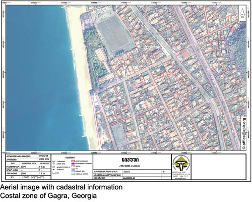
Cadastral maps show boundaries and ownership of land parcels. The map below is a cadastral map with boundaries outlined in red imposed over and aerial image of the coastal zone of Gagra Georgia. Cadastral maps are useful for individuals or companies looking to purchase or develop land. A map such as the one below, since it is an aerial image as well, would be very useful not only for individuals but for government, developers, and real estate agencies as well.
No comments:
Post a Comment