DEM
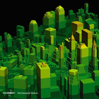 DEM maps, or Digital Elevation Models, are raster format maps that are produced by recording cartographic data, storing it, and processing the information into a cell of pixel. In this manner, digital files containing information about terrain elevations for ground positions at regularly spaced intervals are produced in a three dimensional format. The example map below shows a DEM of NYC, NY on November 12, 2003.
No comments:
Post a Comment