DOQQ Map
DOQQ Map
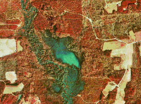
Digital Orthophoto Quarter Quads (DOQQs) maps are produced by the USGS. These digital aerial images contain orthorectified aerial photography as a resolution of 1 meter. These maps are useful in displaying satellite imagery of different types of vegetation. The map below is a DOQQ map of flowers in New England.
No comments:
Post a Comment